Coastal Life 沿海生活
Fishing, boats and the sea remain part of everyday life in many coastal communities.
在许多沿海社区, 捕鱼、船只和海洋依然是日常生活的一部分。

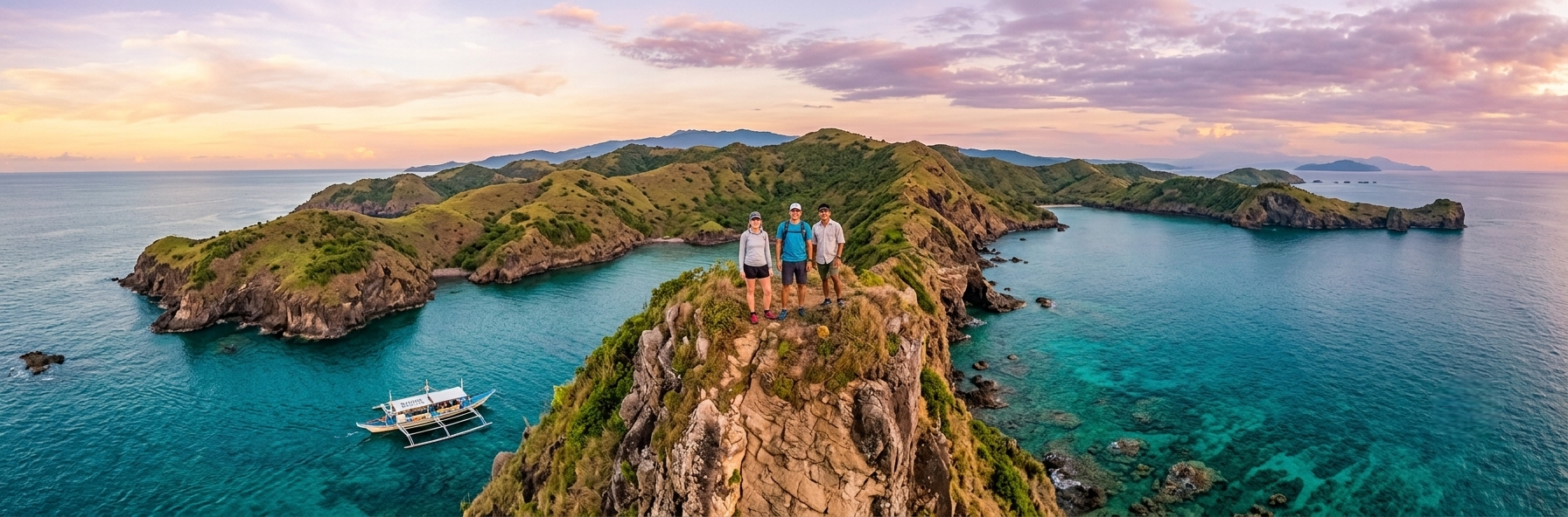
A peninsula of history, coastline, mountains and communities just across Manila Bay. 一片坐落于马尼拉湾对岸的半岛, 拥有历史、海岸、山地与充满活力的社区。
Bataan occupies the peninsula between Manila Bay and the South China Sea in Central Luzon. Its western coastline is marked by ridges, cliffs and headlands, while mountains rise across the interior of the province.
For visitors based in Manila, Bataan offers a change of scenery without requiring a journey to another major island. The province combines coastal landscapes, historical sites, local communities and areas of natural beauty within a relatively compact region.
It is a place where the past is very visible, but where everyday life and modern development continue around it.
巴丹位于菲律宾吕宋岛中部的一个半岛上, 一侧面向马尼拉湾,另一侧面向南中国海。 西部海岸拥有山脊、悬崖和岬角, 内陆则分布着山地。
对于以马尼拉为起点的游客来说, 巴丹能够带来完全不同的风景, 同时又不需要前往菲律宾其他大型岛屿。 在相对集中的区域内,可以看到海岸景观、 历史遗迹、当地社区以及自然环境。
这里的历史依然清晰可见, 但历史并没有停止这里的生活。 今天的巴丹仍然是一个不断发展的地区。
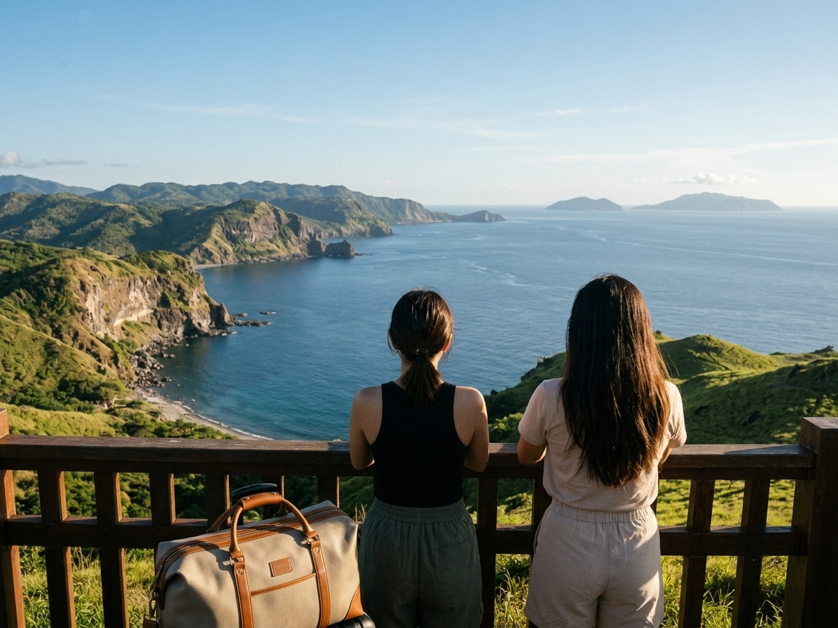
Mariveles sits at the southern tip of the Bataan Peninsula, where the coastline opens towards Manila Bay and the waters around Corregidor.
The municipality has a long maritime history and remains an important working community as well as an area of tourism, industry and coastal activity.
For visitors, Mariveles is particularly interesting because the landscape changes quickly from town and working coastline to rugged mountains, coves and open water.
马里韦莱斯位于巴丹半岛最南端, 面向马尼拉湾以及科雷希多岛周边海域。
这里拥有悠久的海洋历史, 今天仍然是一个充满活力的社区, 同时也是旅游、工业和沿海活动的重要地区。
对游客来说,马里韦莱斯特别有意思的一点, 是这里的景观变化非常明显: 从城镇和工作中的海岸线, 很快就进入崎岖的山地、海湾和开阔海域。
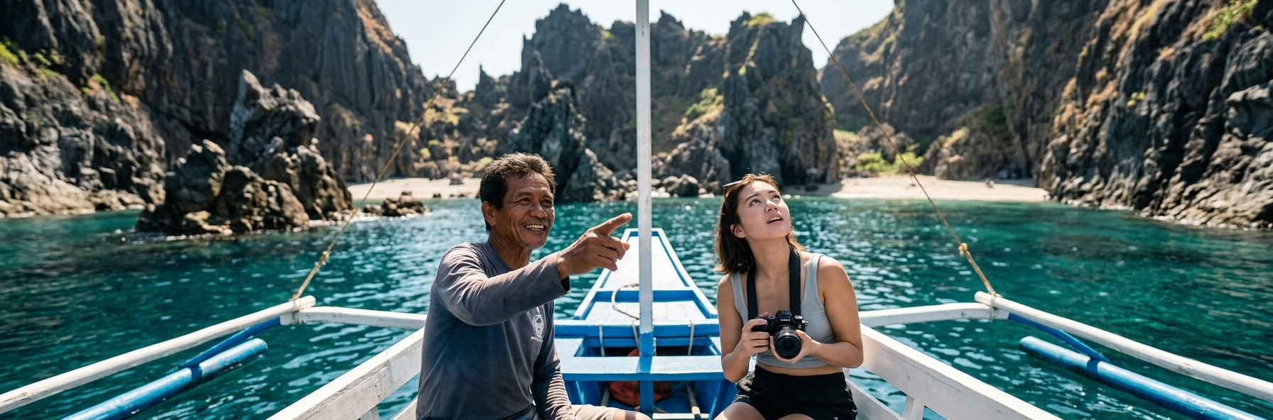
One of the most distinctive coastal landscapes in Mariveles is the area commonly known as Five Fingers.
A series of rocky headlands and sheltered coves creates a coastline that is best appreciated from the water. The changing shape of the peninsula gives the area its character, with different viewpoints appearing as the boat moves along the coast.
This is one of the places where the traditional Philippine bangka becomes more than transportation. Travelling by water allows visitors to experience the coastline from the same environment that has shaped coastal communities for generations.
马里韦莱斯最具特色的海岸景观之一, 就是通常被称为 Five Fingers 的区域。
一系列岩石岬角和隐蔽海湾构成了独特的海岸线。 从海上观察这里尤其有意义, 因为随着船只前进,半岛的形状和景观不断变化。
在这里,传统菲律宾 Bangka 船不仅仅是一种交通工具。 从海上旅行,可以以一种更贴近当地沿海生活的方式认识这片海岸。
Bataan is closely associated with the history of the Second World War in the Philippines.
The Battle of Bataan was fought in 1942, and the surrender of Filipino and American forces was followed by the forced movement of prisoners that became known as the Bataan Death March.
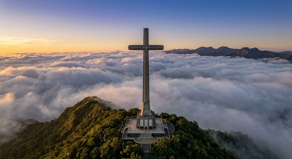
Today, historical sites across the province continue to preserve and explain this part of Philippine history. Mount Samat National Shrine is one of the best-known memorial sites associated with the Battle of Bataan.
巴丹与菲律宾第二次世界大战历史有着非常密切的联系。
1942 年,巴丹战役在这里发生。 菲律宾和美国军队投降后,大批战俘被强迫转移, 后来这段历史被称为“巴丹死亡行军”。
今天,巴丹各地的历史遗迹仍然保存并讲述着这段历史。 Mount Samat 国家圣殿是与巴丹战役相关的重要纪念地点之一。
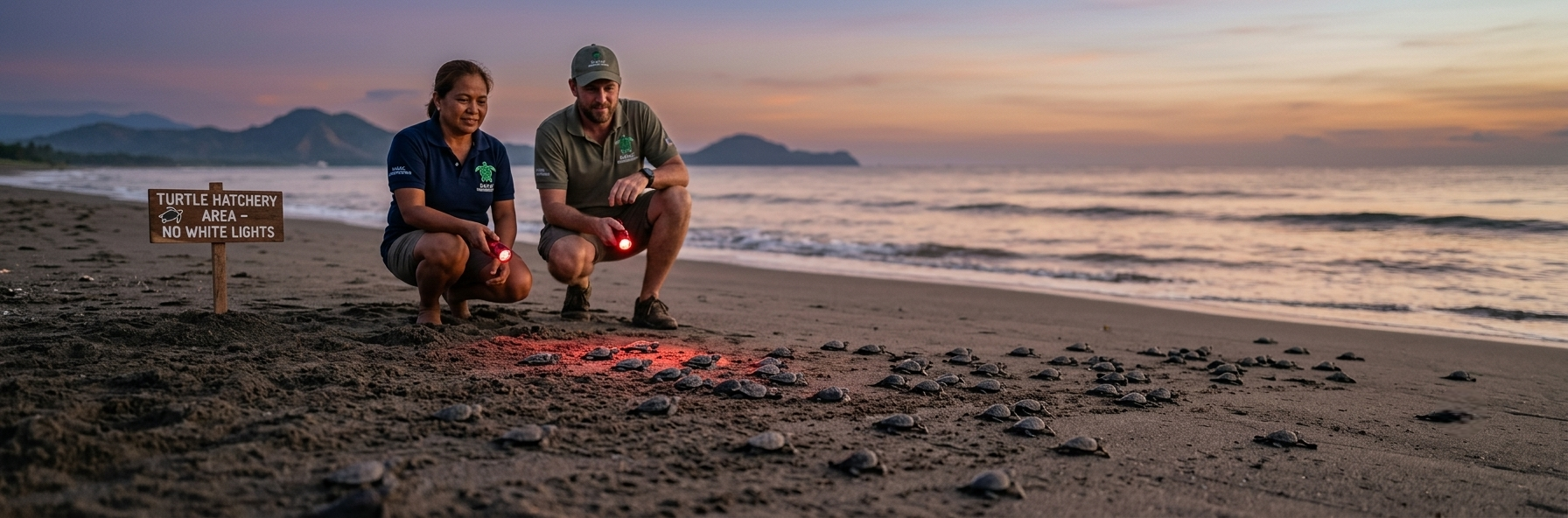
On the western side of the peninsula, Bagac offers another perspective on Bataan.
The municipality is known for its beaches, rugged terrain, agricultural areas and coastal environment. Its landscape also contains historical sites and places connected with the province's wartime history.
The western coast provides a useful contrast with Mariveles: different geography, different communities and a different relationship with the sea.
在半岛西侧,Bagac 展现了巴丹的另一面。
这里拥有海滩、山地、农业地区和丰富的海岸环境, 同时也分布着与巴丹战争历史有关的地点。
西海岸与马里韦莱斯形成了有趣的对比: 不同的地理环境、不同的社区, 以及不同的人与海洋之间的关系。
Fishing, boats and the sea remain part of everyday life in many coastal communities.
在许多沿海社区, 捕鱼、船只和海洋依然是日常生活的一部分。
Mountains, forests, beaches, coves and marine environments give Bataan a remarkable variety of landscapes.
山地、森林、海滩、海湾和海洋环境, 让巴丹拥有丰富多样的自然景观。
Traditional communities and modern industry, infrastructure and tourism exist side by side across the province.
传统社区与现代工业、基础设施和旅游业, 正在这个省份共同发展。
The coastline is only one part of the story. Explore the experiences that allow visitors to see more of Bataan.
海岸只是巴丹故事的一部分。 继续了解可以让游客更深入认识这里的体验。
Explore Experiences 探索体验